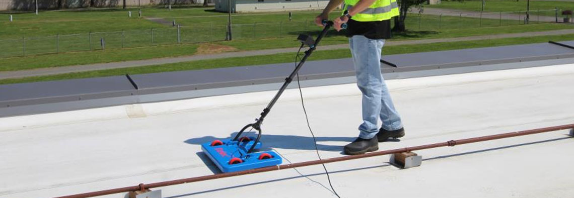

We also provide GPR (ground penetrating radar) survey service for identification of underground utilities.
Ground Penetrating Radar(GPR) is a geophysical method that uses radar pulses to image the subsurface. It is a method of surveying the sub-surface to investigate underground utilities such as concrete, asphalt, metals, pipes, cables or masonry. GPR can have applications in a variety of media, including rock, soil, ice, fresh water, pavements and structures. In the right conditions, practitioners can use GPR to detect subsurface objects, changes in material properties, and voids and cracks.
GPR is a geophysical method that Ground Penetrating Radar (GPR) uses a high frequency radio signal that is transmitted into the ground and reflected signals are returned to the receiver and stored on digital media. The computer measures the time taken for a pulse to travel to and from the target which indicates its depth and location. The reflected signals are interpreted by the system and displayed on the unit's LCD panel.