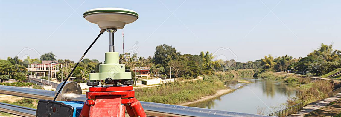

Initially developed for military use, GPS is now part of everyday life; used in mobile phones, in-car navigation and search and rescue equipment to mention just a few. But there is a wide variety of equipment and techniques that can be used for surveying. GPS was rapidly adapted for surveying, as it can give a position (Latitude, Longitude and Height) directly, without the need to measure angles and distances between intermediate points. Survey control could now be established almost anywhere and it was only necessary to have a clear view of the sky so the signal from the GPS satellites could be received clearly. GPS is similar in some ways to the Total Station and EDM, except that the known positions are now the GPS satellites (and their orbits) 20,000 km in space. The equipment and calculations are extremely complex, but for the user the process is generally very simple.
We are one of the best leading DGPS survey Company in India. Actually GPS system was originally designed for military use only, providing sea, with an all-weather, high-precision, worldwide real-time positioning system. Though initially designed as a military system, it became freely available for international civil use. GPS is a highly accurate navigation system using signals from satellites to determine a location on the Earth’s surface, irrespective of weather conditions.It is dependent on GPS satellites high above the Earth which transmits signals containing the time and location of the satellite. Any ground-based receiver which receives signals from four or more GPS satellites can use navigation equations to calculate its location on the Earth’s surface. Constant signalling can then update speed and direction information for moving receivers.